Categories
Travel Story

Our 2 Day Story From an Inca Trail near Sucre, Bolivia

Chataquila – Chaunaca – Maragua – Niñu Mayu

This article has a GPS track and our story is available in video.

Day 1: – 20km, 500m D+
Day 2: ~20km, ~600m D+ (if you go towards Potolo – which I would do in case of walking this way again – look up another GPS track or follow the road! My GPS track goes to Niñu Mayu and back to the verge of the crater of Maragua from where we got back to Maragua with a truck)

Bus from Sucre to Chataquila

Hop on a bus from Plazuela San Juanillo in Sucre. They might tell you they are leaving in half an hour, which might turn out to be actually more than an hour waiting to make the bus full.

Before departure all kinds of sellers come and try to treat you mostly with sweets.

Starting point

After a 1,5 hour ride we get to the starting point of the trail. The hike starts with a ~500 meter descent from 3600 meters.

The scenery is amazing towards Chaunaca.

The walk should be easy except, if you haven’t acclimatized enough or the sun is cruel hot.

Don’t expect to find a shadow on your way. Bring lots of water.

After in Chaunaca continue to follow the river from the road to the south.

We’ve refused to go down there for a swim, where the water is deeper, but ever since I regret it.

It was so hot, and the water was so refreshing!

Montañas de Colores

We were lucky finding this shadow, there was nothing similar to this along the way.

Had to stop for 1 hour for the heat to go away.

Our time spent chilling in the shadow was accompanied by great melodic performance.

Crazy geology.

The Bridge

At the bridge you’ll meet an indigenous person who will sell you tickets to cross towards Maragua. It costs around 10 bolivianos per person (~1.5$)

There was a dog here. Don’t worry, usually all dogs we met along the way were nice and polite.

You’ll need to cross this bridge and get to the level of the river first. From there keep this direction, towards where this photo looks (south-west). You should see a nice little waterfall, but even before that, you’ll need to climb up on the right part of the valley. The trail will turn then to the right (north-west).

After crossing this bridge, we’ve lost lots of time figuring out our way to Maragua, because we were following a wrong GPS track from the internet.

The orange line is our track. Ignore the part (red circle) where we are lost from our track, instead continue to the waterfall and then NW

Don’t leave this part out after crossing the bridge.

This is the small waterfall I’ve mentioned before. You’ll need to climb up on the right side of the valley here and then turn NW.

The trail will climb high.

Along the way you’ll find some houses, where you would think nobody lives.

The people in these houses are living completely disconnected from modern society and barely speak Spanish.

This lady lives probably alone here with her dog.

She confirmed that we are on the right way to Maragua.

I would imagine a good chat taking place here between these disconnected humans.

The view from these stone chairs is stunning.

Getting closer to the village we see electricity connected.

It is getting late, the moon showed up above the mountains.

Local family in the sunset.

Getting to the village, we have found no accommodation open, so we were accepted luckily for the night by a local shop owner.

I am trying to make the little girl smile.

She was like a clone of the little girl from the animation Monsters Inc. Very cute.

Our 5 star stay with dinner and breakfast included.

It was a nice morning.

First we’ve climbed to see Garganta del Diablo (40m waterfall) and Mirador Santa Ana (3127m).

While climbing we observe how interesting the geology of the place is and how minimal the village of Maragua is, compared to our expectations from the day before.

We continue now towards Niñu Mayu – the other side of the crater of Maragua – to spot those dinosaur footprints!

I went deep into the valley to Niñu Mayu. I am 0.5km away from the dinosaur footprints and my time is off. I am searching for them with my backpack left on a rock and can’t believe I was so close and did not make it.

The dinosaur footprints aren’t so far from the crater of Maragua, but I couldn’t make it. And it is because I have listened to the shop owner to return from Niñu Mayu, because there is nothing more to be seen if we hike further to Potolo.

It would’ve been a way better idea to go to Potolo on the second day, because there are much more busses leaving to Sucre, and we wouldn’t had to make the way back to Maragua again from Niñu Mayu or the dinosaur footprints.

Plan going from Maragua to Potolo by touching the dinosaur footprints!

Our time limit was set by the truck which was waiting for on the top of the verge of the crater leaving at 12:30pm, and the next limit was set by the bus which was planned to leave from Maragua to Sucre from 1:30pm.

Later it turned out that the bus is the same truck we hopped on at 12:30pm.

The experience was unique and beautiful.

Waiting for the “bus” from which we just got off earlier in the village about 300m away. We have returned to the shop, from where it should leave at 1:30pm.

On the picture from right to left: René, his mother, his daughter (Monsters Inc. star), another woman from the village.

The “bus” to Sucre

We continued our way back to Sucre with this truck. It took about 4 hours, collecting everybody from the village and their grains and other products they were bringing to the city.

To get a feeling of how this whole trip worked out I recommend you watch the video, which has Hungarian narration, but it is subtitled in English, so turn on captions and make sure you watch it on YouTube directly that allows the captions feature.
Categories
Outdoor Romania

Backcountry Skiing Călimani mountains, Tihu peak, Romania

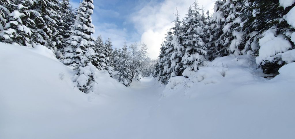
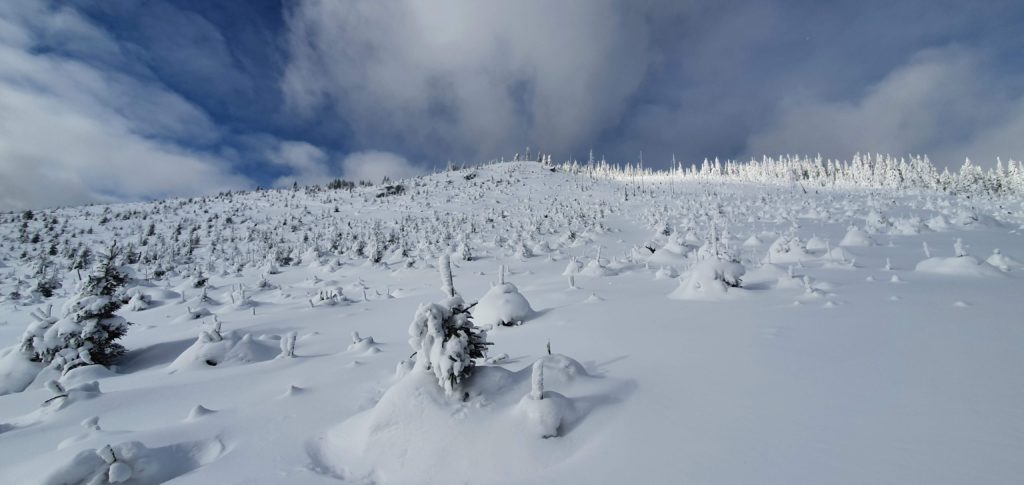
Our trip starts from Lunca Bradului, Mureș county, Transylvania, Romania. How high in the valley you can go by car depends on snow conditions and on the vehicle available to you. We went 4 km close to the peak with a 4×4 jeep, but also with a normal car you can get fairly close to get this done in a short day.

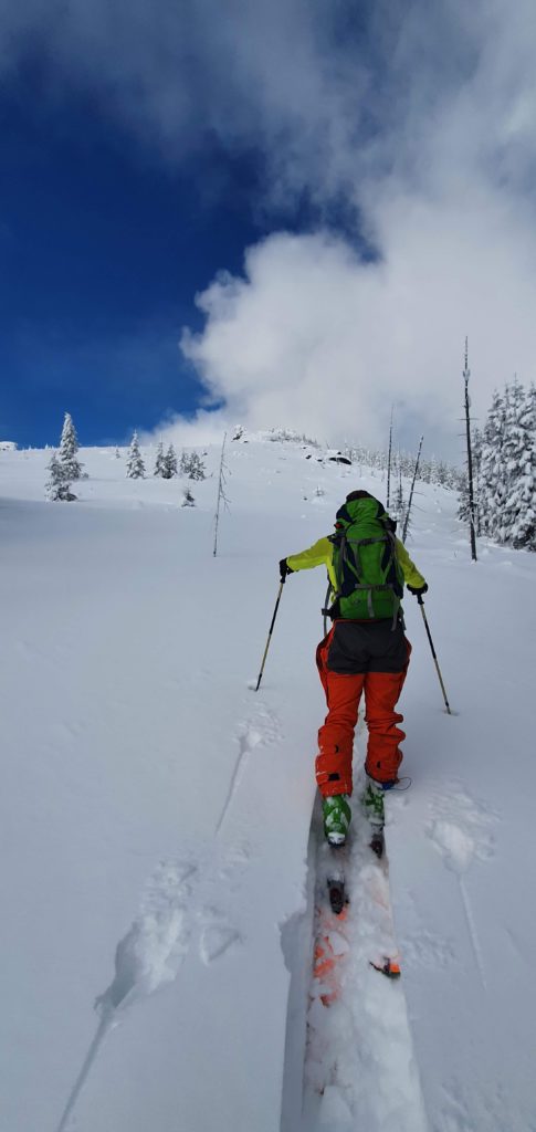
We had a great short adventure with amazing slides in the Călimani mountains. Our ski track started uphill following a stream.

Later we climbed toward the Tihu peak’s ridge, ~ 50m south from the peak, as we had a nicer line this way to slide in.

This cool ridge is perpendicular to the main ridge line of the Călimani mountains, and the peak situates itself at 1799m altitude.

The NW towards SE skiing line is a great slide, which can be repeated several times in 1 day.

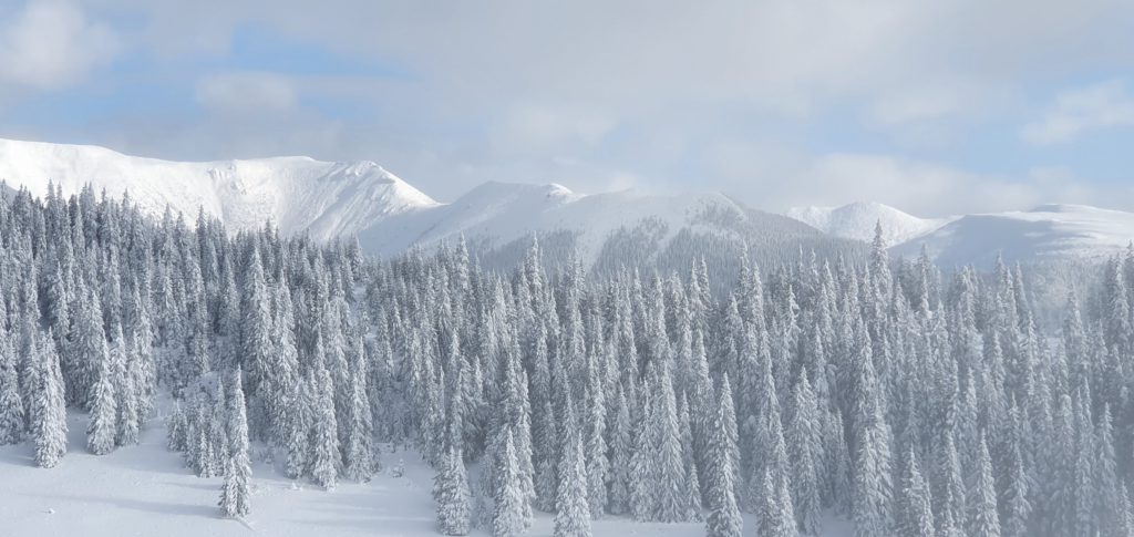
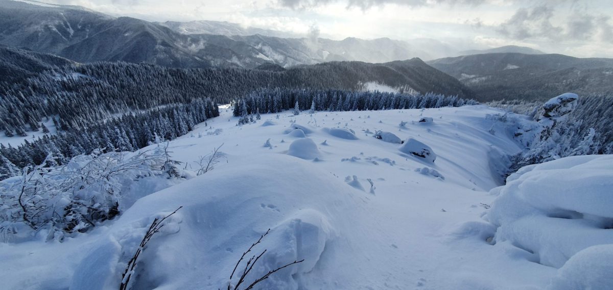
The terrain usually holds minor risk for an avalanche, especially under recent snow conditions, exception being areas from the main ridge of Călimani, visible in the image above.

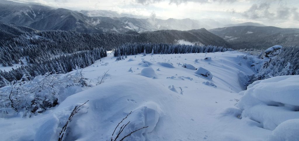
Our skiing line goes in that opening between the trees,
and continues down towards this point.

Check our GPX track recorded on our short day getaway.

Categories
Travel Story

Diving Cozumel Reefs: Palancar Bricks & La Francesa

Cozumel Diving – Palancar Bricks & La Francesa Reefs – December 28th, 2019

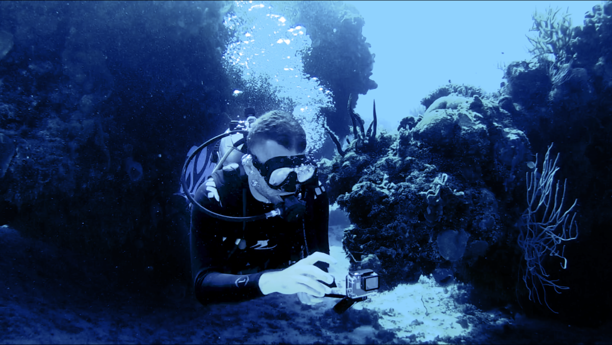
2 beautiful reefs from Cozumel island: Palancar Bricks and La Francesa with amazing underwater terrain, seems like flying between the mountains between depths of 15-30 meters. You can see whitespotted filefish, banded butterflyfish, stoplight parrotfish, queen angelfish, yellowtail snapper, schoolmaster snapper, black durgon, black grouper, grey angelfish, green morey eel, stingray, queen triggerfish, and many more …

Categories
Travel Story

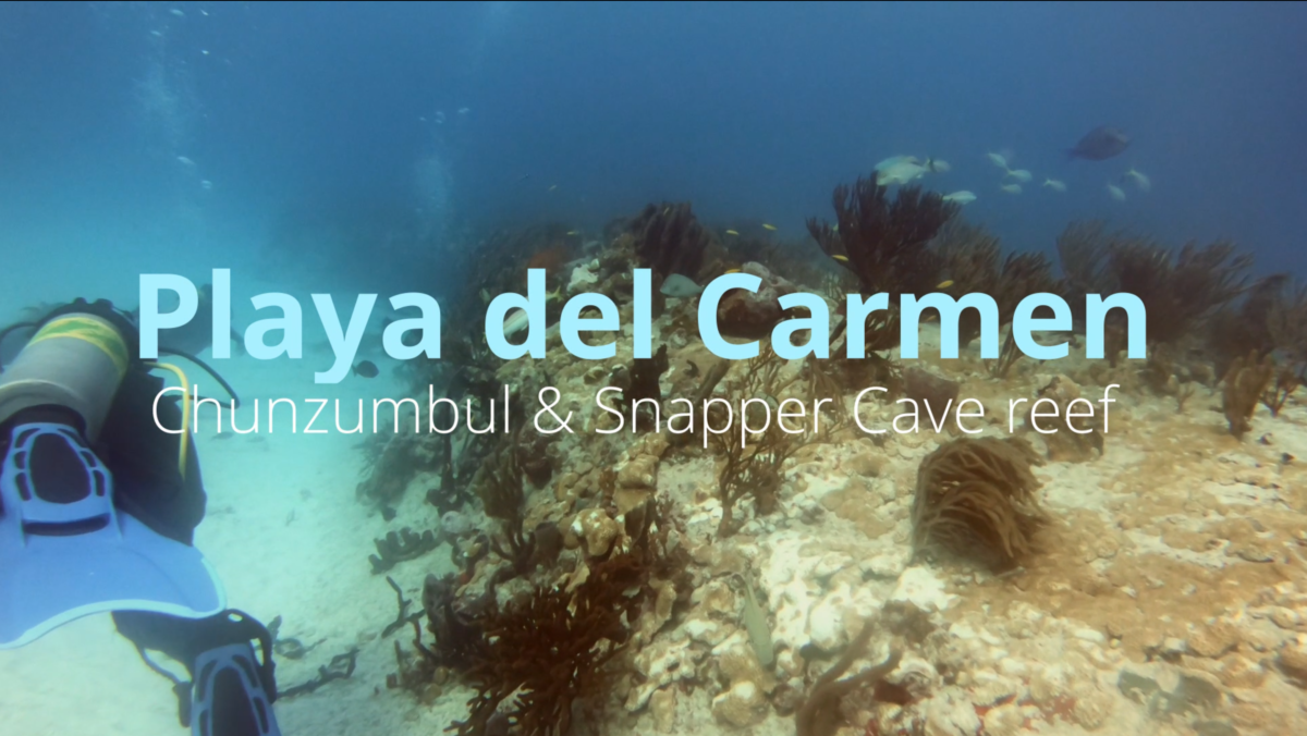
Diving Chunzumbul & Snapper Cave Reefs, Playa del Carmen, Mexico

Categories
Digital Nomad Info

Working as a digital nomad in Cusco, Peru

Internet connection options and speed

We do travel for the fun and for the great local experiences, but we do care about our internet connection speed and about having our spaces to work comfortably from while on our journey. Here’s what we have found in Cusco, Peru.

At our stay with Airbnb we were pretty happy with what the number showed on a speed test,

WiFI internet speed

but experienced also slow/interrupted internet during a video call or while browsing the internet true being that we are not the only ones in the house that uses the same WiFi probably. The second option – always the hotspot from your phone – gave the following results:

Phone 4G hotspot connection speed

Upload is pretty nice compared to the WiFi connection, but download is also enough and stable to have good video calls.

There are several operators in Peru, best coverage is offered by Claro, but us arriving on the weekend and having limited possibilities, we’ve ended up buying a SIM/chip from Entel in the local market in Cusco. It has unlimited Whatsapp, Facebook, Instagram etc. and additionally has 3.5GB of internet. It probably ain’t the best to get, but for us it works, because usually our WiFi does a good job. The price for this prepaid option with Entel was around 12 $ and it is a monthly plan.

Laptop friendly workspaces

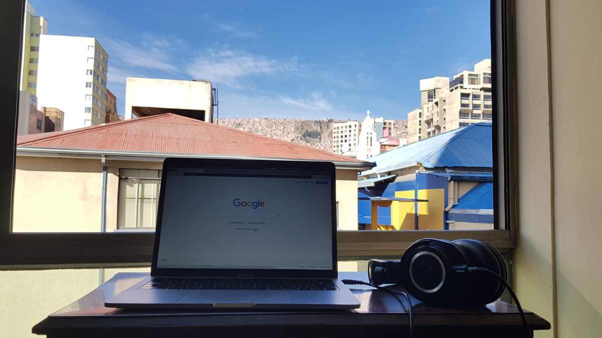
Though this place might look cool, it ain’t comfortable for a full day of work, so make sure you have other options at your accommodation. Choose right! It won’t be hard to find that through Airbnb. If you sign up from this link you’ll get up to 39$ towards your first trip.

With one-of-a-kind homes and experiences, Airbnb is a great way to travel. When you sign up, you’ll get 25$ off your first home booking of 75$ or more and 14$ towards an experience of 46$ or more. Coupons expire one year from date of sign up.

Categories
Travel Story

Get to Pico Austria (5350m), Bolivia even without a guide

We did this trip with a guide, but this has a GPS track to follow, which I’ve recorded, if you decide to go without a guide. There are no technical difficulties and should be easy to do if you are acclimatized well enough. Check also the short video from the trip!

This hike is also great for acclimatization if you plan to do higher peaks (6000+m) in the following days. You can choose to stay here for more days at Refugio Condoriri (situated around 4630m) and do the surrounding 5000+m peaks.

Leave behind La Paz and observe how beautiful are its surroundings.

Hide and seek.

We are thankful for the roads, which take us to the feet of the mountains.

That sweet snow is coming down from the mountains. Start the hike easy from 4500m.

It ain’t only the altitude that might get breathtaking, but the views. Stop for a pic.

First lagoon along the way.
Talk to the lamas, they have big ears to listen.
Don’t worry about motivation, the landscape will take care of that.

Almost at Refugio Condoriri next to Lagoon Ch’iyar Quta / Chiar Khota.

One step comes after the other.

Bring your walking sticks, if you have them at hand. If you go with a guide, ask him to bring one. It will help you a lot.

Next to Lagoon Ch’iyar Quta / Chiar Khota, hiding from the wind.

Don’t eat too much, as your digestion might be slower at these altitudes, but don’t run out of fuel on the mountain!

Lagoon Ch’iyar Quta / Chiar Khota
Ascent further from Refugio Condoriri
Watch your back! It will always amaze you.

Last steps to the top.

Almost there.

Beauty and sadness when thinking about the future. Glaciers of Bolivia are disappearing.
Catch your breath at 5350m on Pico Austria.
The sun is on its way to set. Descent.
Looking back to our way to the top.
Leaving behind the gorgeous views. Silence and cold drops down on the mountains.

We’ve ended this trip with headlamps, because getting away from La Paz was difficult of the traffic. Try to leave earlier than 8am.

Categories
Digital Nomad Info

Working as a digital nomad in La Paz, Bolivia

Internet connection options and speed

We do travel for the fun and for the great local experiences, but we do care about our internet connection speed and about having our spaces to work comfortably from while on our journey. Here’s what we have found in La Paz, Bolivia.

The WiFi connections speed isn’t shiny, but it is able to handle in general video meetings with several participants. Speed test with WiFi:

There is always a plan B, and that is to buy yourself a local SIM card (25 BOB = 3.6$) and charge it with some credit or internet (4 GB costs 50 BOB = 7.2$).

Later we’ve found that there are more options actually and you can get more internet in combos way cheaper, here’s Entel’s offer from (October 2019):

So I was able to get for 14.5$ 11GB-s of internet. Here’s what the internet speed test gave us by setting up a hotspot with it:

These options will be more than enough for our work from La Paz.

Laptop friendly workspaces

It won’t be hard to find that through Airbnb. If you sign up from this link you’ll get up to 39$ towards your first trip.

With one-of-a-kind homes and experiences, Airbnb is a great way to travel. When you sign up, you’ll get 25$ off your first home booking of 75$ or more and 14$ towards an experience of 46$ or more. Coupons expire one year from date of sign up.

Categories
Travel Story

The Altiplano – Puna Volcanic Complex | Bolivia

Image result for salar de uyuni map

Going deep into the salt flats to the west from Uyuni

you’ll find Isla Incahuasi / Isla del Pescado in the middle of it, which hosts lots of gigantic cacti (Echinopsis atacamensis).

These can grow as tall as 10-12 meters.

Going to the south from Salar de Uyuni in the Bolivian altipano you’ll see amazing volcanic rock formations from eruptions from long-long time ago.

All mountains around here are volcanoes – mostly extinct. We are spotting an active one exactly on the border between Chile and Bolivia, which still releases smoke.

Being at above 4000 meters the flora here is not too rich, but the colors and shapes are magical.

Lamas walk freely all around.


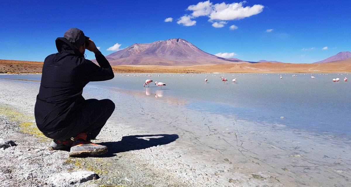
At Laguna Hedionda we spot lots of flamingos taking lunch.

Vicuñas

On our way back from the south we see lots of vicunas, which live in the wild freely and are somewhat similar to lamas.

Categories
Travel Story

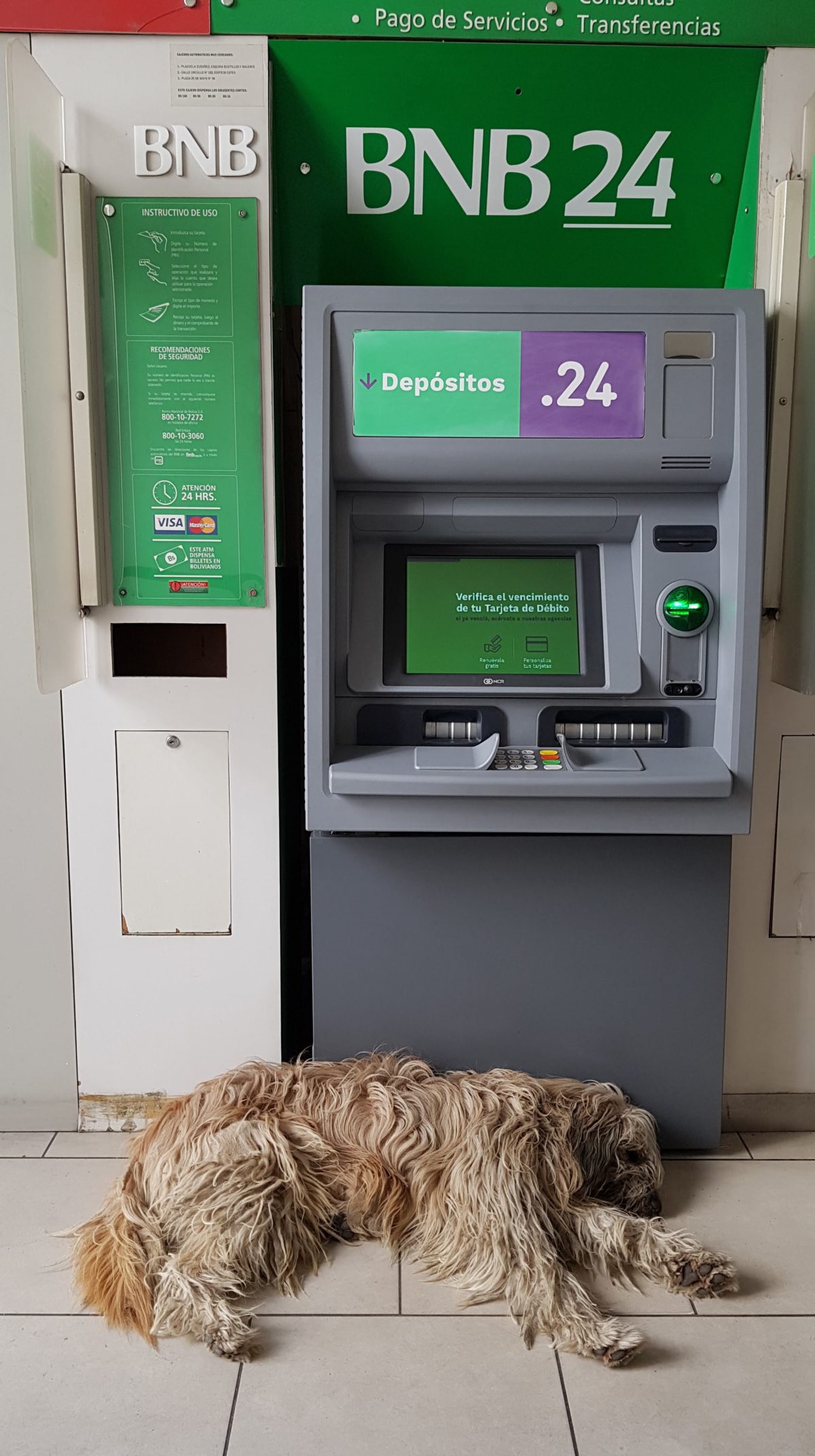
Practical tips: How to withdraw money from a dog guarded ATM while making a new friend in Sucre, Bolivia

Categories
Travel Story

Buses, traffic, dogs

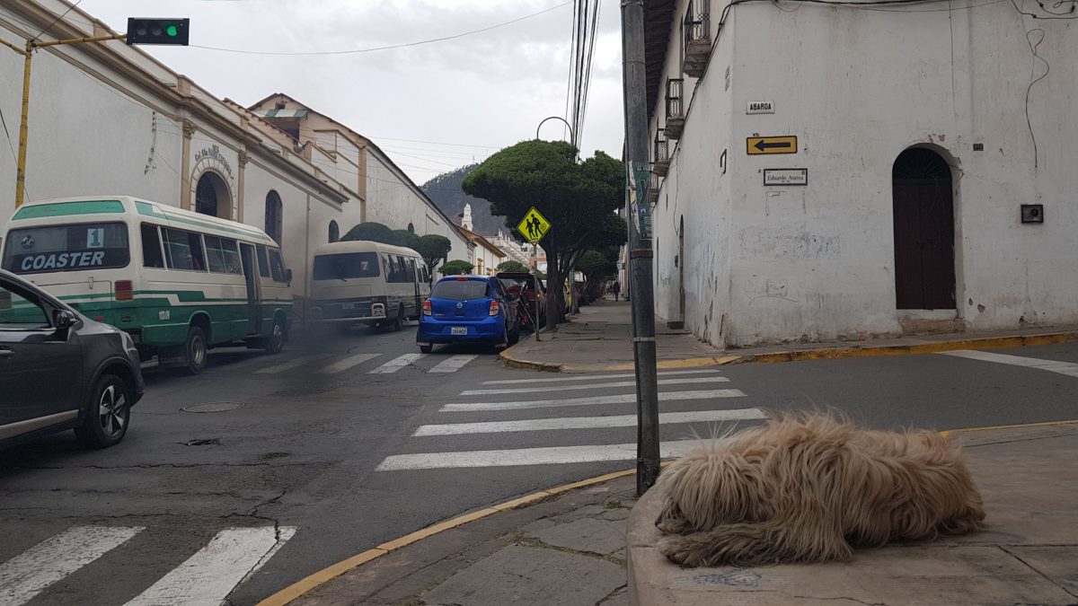
The traffic in Sucre isn’t so bad, except around 12-2pm when children finish school and people usually have their 2 hour lunchbreak. What you do need to take care about is yourself as a pedestrian in the traffic, because drivers don’t care if you have a green light to pass the street, they might even toot at you.

“Micros” are the local buses in Sucre, sometimes they leave behind quite some smoke in the city where dogs live like landlords a bit out of control.

They’ve tried to introduce bus stops, and they did as a copy from modern societies, but some things just don’t have to function everywhere. Buses don’t stop and they roll with open doors.

To get on the bus you must signal with your hand and it stops, and getting off where you want is as easy as saying “parada” (stop) or “voy a bajar” (I want to get off). Spice that with “por favor” at the end and you’ll be the best bus rider in Sucre.